
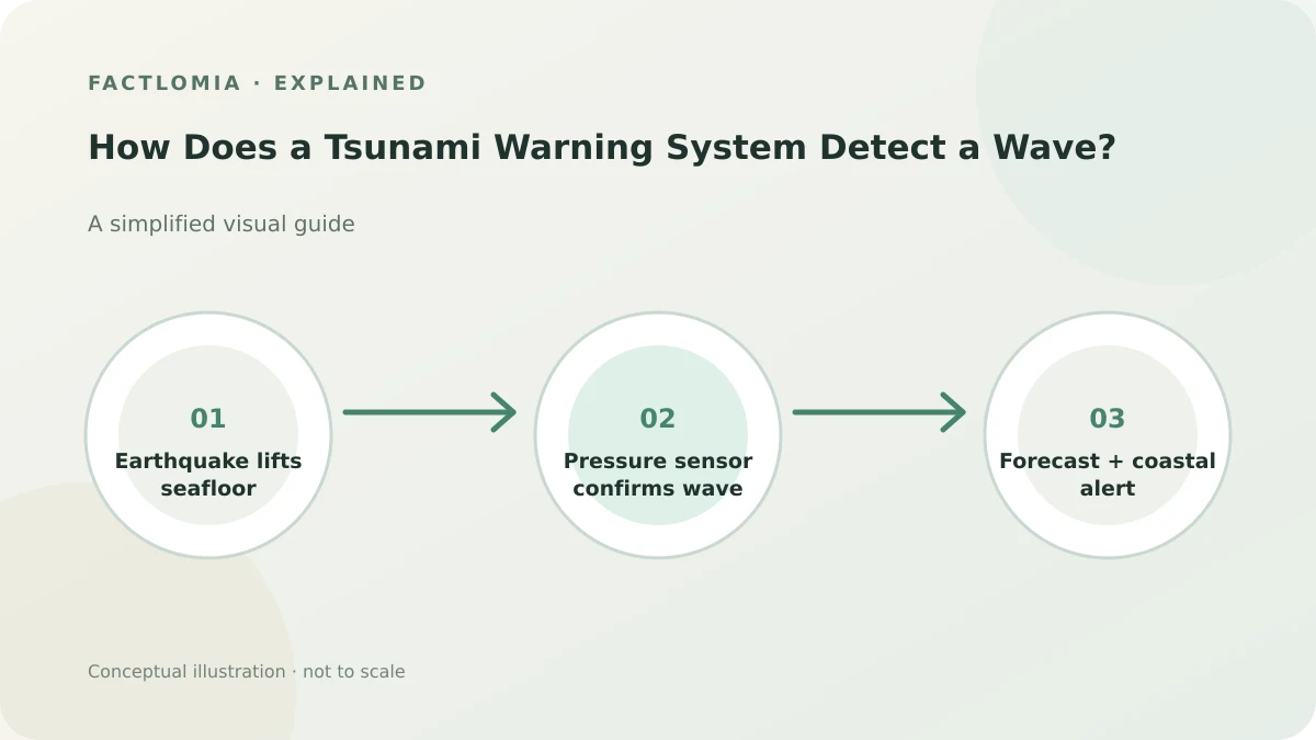
Tsunami warning centers first assess earthquake location, depth and magnitude, then check seismic and sea-level observations. Deep-ocean pressure sensors and coastal gauges can confirm a tsunami and feed forecast models that estimate its arrival and possible effects.
Earthquake data can trigger the first assessment
A strong undersea earthquake may displace the seafloor and push water into motion. Because a tsunami from a nearby source can reach a coast quickly, warning centers examine the earthquake’s location, depth and size to decide whether an initial message is needed before ocean instruments confirm a wave. An earthquake does not always generate a damaging tsunami. [1]
Ocean sensors check whether a tsunami is moving
Seismic networks show that an earthquake happened; they do not by themselves measure the tsunami’s height at every coast. NOAA’s DART buoys use a seafloor pressure recorder to detect the small pressure change associated with a passing wave and transmit observations to a surface buoy. Coastal tide gauges provide additional water-level measurements. [2]
Warning centers combine those observations with forecast models, seafloor depth and coastal topography. The estimates help forecasters update messages as evidence arrives.
An alert is a forecast, not a guarantee
Official messages describe the expected level of threat and affected areas. The forecast can change as new measurements become available. Local authorities distribute alerts through channels such as emergency messages, radio, television and sirens. NOAA notes that natural warning signs—such as strong or long shaking, a sudden sea-level change or a loud ocean roar—matter because a local wave may arrive before an official warning.
This explainer describes the system, not a substitute for local instructions. See what causes a tsunami for the wave’s origin.
Frequently asked questions
Can a tsunami warning center see every wave immediately?
No. The first assessment may rely on earthquake data; confirmation and revised forecasts depend on available observations.
Do DART buoys predict earthquakes?
No. They measure ocean-pressure changes from a passing tsunami; seismic networks detect earthquakes.
Why can a local tsunami be hard to warn for?
A wave from a nearby source may reach the coast within minutes, leaving little time for detection and communication.
Sources and evidence
- NOAA — U.S. Tsunami Warning System ↗
Roles of warning centers, DART sensors, forecast models and public alert channels.
- NOAA JetStream — Detection, Warning, and Forecasting ↗
Initial earthquake assessment and model use of real-time seismic and sea-level data.
Sources consulted: 1 November 2026. Written with AI assistance and checked against the linked references; not independently reviewed by a subject specialist. Sources do not endorse this article. See our editorial policy.
Revision: Initial publication. Claims and uncertainty checked against the cited references.