
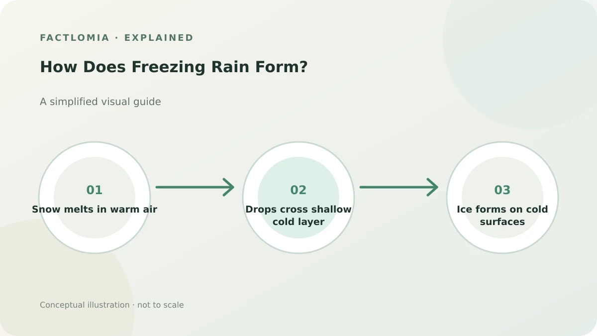
Freezing rain forms when snow melts into liquid raindrops in a warm layer of air aloft, then passes through a shallow subfreezing layer near the ground. The drops may remain liquid until they hit a surface at or below freezing, where they form a coating of ice.
A warm layer melts falling snow
Winter precipitation often begins as ice crystals or snowflakes high in a cloud. If those particles fall through a layer of air above freezing that is deep or warm enough, they melt into raindrops. What happens next depends on the depth and temperature of the colder air closer to the ground. [1]
A shallow cold layer lets drops reach the ground
If the near-surface layer is below freezing but relatively shallow, drops may not have time to refreeze into ice pellets before landing. They can remain supercooled—liquid below the usual freezing point—and freeze on contact with cold roads, trees, wires or other surfaces. That is freezing rain. [2]
If the subfreezing layer is deeper, drops can freeze before reaching the ground and fall as sleet. If there is no strong warm layer aloft, snow can reach the surface without melting.
Small vertical differences change the precipitation
A storm can produce snow, sleet, freezing rain or ordinary rain in nearby places because the vertical temperature profile varies across the region. A small change in the depth of the warm layer or the cold air near the ground can change what reaches the surface. Forecast soundings help meteorologists assess these layers.
For another cold-weather process, read why road salt melts ice.
Frequently asked questions
Is freezing rain just rain that is cold?
It is liquid precipitation that freezes when it contacts a surface at or below freezing; its path through warm and cold air layers matters.
How is sleet different?
Sleet freezes into ice pellets before reaching the ground, usually because the near-surface cold layer is deeper.
Can freezing rain happen when the air above the road is above 32°F?
Yes. A cold surface can allow drops to freeze on contact even when a nearby air reading is slightly above freezing.
Sources and evidence
- National Weather Service — Freezing Rain and Sleet ↗
The role of warm and shallow cold layers in distinguishing freezing rain from sleet.
- National Weather Service — Determining Winter Precipitation ↗
How snow melts aloft, becomes supercooled and freezes on contact with a cold surface.
Sources consulted: 1 November 2026. Written with AI assistance and checked against the linked references; not independently reviewed by a subject specialist. Sources do not endorse this article. See our editorial policy.
Revision: Initial publication. Claims and uncertainty checked against the cited references.